We’re on par for one of the warmest winters on record.
Last year at this time we had snow banks so high we couldn’t see over them. We also had some of the coldest weather we’ve experienced and it was relentless.
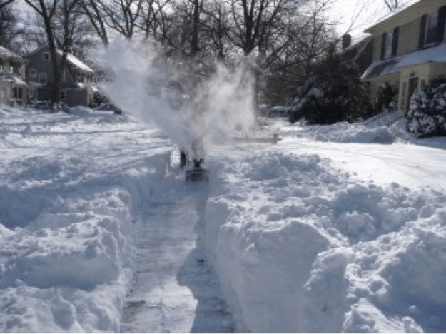
Winter 2015 would not quit, relentless snow and cold through March. Photo credit: Greenwich Patch
This year, obviously, El Nino had an impact on our winter (as expected).
Are we done with snow? I don’t think so. Not yet.
March 1 begins “Meteorological spring”. We’ll be feeling like spring over the first few days of March, but a change to colder looks likely toward the first weekend of March.
It’s looking like we’ll have a few shots of cold going into March, but overall it looks like the month will end up above average. The image below shows the NCEP outlook for March.

It does look like (according to the ‘euro’) and other support that we could see some real above average days through the month, outside of the one of two cold shots we could see.
The thing to watch for is storm track in March. Especially this March. An active southern jet stream (which is typical in an el nino winter) could easily meet up with one of those cold shots of air and spawn a big storm. Remember, the “1993 Storm of the Century” or “Super storm” occurred in March.
Overall, we have turned the corner on winter. The days are getting longer.
-We turn our clocks ahead on Sunday, March 13.
-Spring begins Sunday March 20
–Our average high temp March 1 =42°
–Our average high temp March 31 =54°
If you’re a snow fan, the best I can do is show you some photos of last year’s epic snow and cold
